Goal: $2,000
Raised to date: $874.00
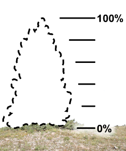
44% raised of $2,000:
Minimum donation per participant: $50
All donations to AWA are eligible for a charitable tax receipt.
Tryst Lake is located off the Smith-Dorrien Trail, near Engadine Lodge, in the Spray Range, not far north of the better-known Chester Lake/Burstall Pass areas. You should be able to:
- See a really beautiful small lake in a hanging valley surrounded by spectacular cliffs
- See incredible views of the surrounding mountains from the ridge above the lake
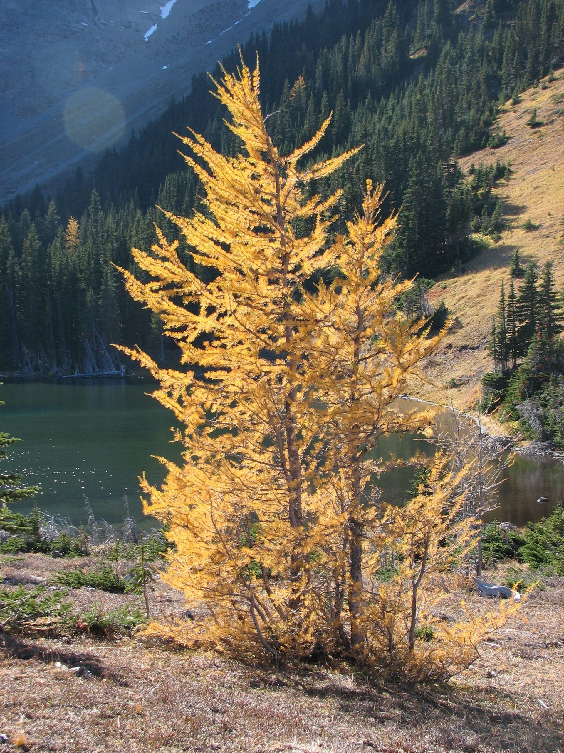
- See the needles of the alpine larches in their "golden" stage (this is dependent on the timing of the change from green to gold which usually occurs in the 3rd week of September
- See the effects of recent avalanches on trees and plants
- Learn about the effects of forestry operations undertaken 70-80 years ago
- Learn about the natural life in the area including its plants and animals
The route is about 10 km. Elevation gain is approx. 2,000 feet. Activity time 6-7 hours. The route is almost all on trails, although some of it is quite steep. Participants will need to be familiar with hiking in the Rockies and have a reasonable level of fitness.
Good hiking boots, raingear suitable for mountain hiking, spare clothing, lunch and extra food, backpack. Hiking poles are useful but not essential. The weather can be quite unpredictable in the area in September.
We will observe COVID-19 precautions and guidance from the Government of Alberta and expect
participants to follow appropriate sanitizing and social distancing. We thank you for your understanding
and cooperation! If you need more details you can check the Government website at:
this link.
Please bring a personal mask and your own hand sanitizer.
Thank you for joining us for this exceptional day out in one of Alberta’s truly wonderful Wild Spaces
— we look forward to meeting you there!
This is a high mountain trail hike, a reasonable level of fitness is required.
The hike will start at a parking lot off the Mount Shark road – see map. The drive is about 2 hours from the centre of Calgary. The directions from Calgary are:
- Take Hwy 40 south off Hwy 1 and drive to the turn off to Kananaskis Lakes, turn right.
- Follow the paved road for about 4 km then turn right on to a gravel road, Smith-Dorrien Trail (Hwy 742)
- Follow Hwy 742 for about 24 km and turn left on the Mount Shark road
- After about 1 km turn left into the parking lot
Contact this coordinator:
by email at
a4w@abwild.ca,
by phone at (403) 283-2025,
or by using the form below:


